CT-ROMS Model
Model Description
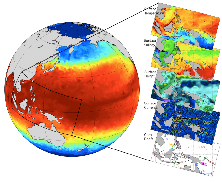
The Regional Ocean Modeling System (ROMS) is widely used for applications from the basin to coastal and estuarine scales. CT-ROMS was designed to investigate the patterns of vulnerability of marine ecosystems in the Coral Triangle and how these patterns will change in response to climate forcing through the end of the 21st Century.
The model domain spans the region from about 95°E to 170°E, and -25°S to 25°N. This is about 8350 km by 5500 km. The horizontal grid resolution is 5 kilometers on average, resulting in a 1280 by 640 points grid. CT-ROMS uses 50 vertical levels in terrain-following sigma-coordinates, weighted toward the surface in order to better resolve the mixed layer.
The vertical coordinate transformations and stretching function of Shchepetkin and McWilliams (2005) are used, so that the upper layers are more "z-like" which reduces spurious advection in the ocean surface mixed layer as well as the sigma-errors in the pressure gradient. The model grid is slightly rotated in order to enclose the Coral Triangle region and maximize the wet points ratio, i.e. the number of sea points over the total number of points in the grid.
Model Characteristics and Forcings for Validation Runs
| Domain | 95°E to 170°E, and -25°S to 25°N |
| Horizontal Resolution | 5 kilometers on average, resulting in a 1280 by 640 points grid |
| Vertical Resolution | 50 terrain-following levels |
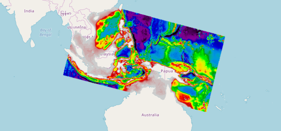
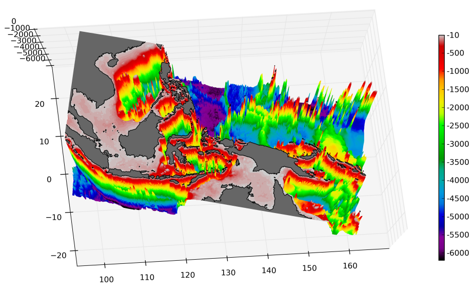
| Bathymetry | Global SRTM30_PLUS product with 30-sec resolution (Becker et al., 2009)
Coral triangle bathymetry flat view Coral triangle bathymetry 3d view |
| Atmospheric Forcing | Modern Era-Retrospective Analysis for Research and Applications (MERRA, Rienecker et al., 2011) or Coordinated Ocean-Ice Reference Experiments (CORE2, Large and Yeager, 2004) |
| Boundaries & Initial Conditions | Simple Ocean Data Assimilation (SODA, Carton et al., 2000) |
| Tidal Boundary Conditions | Global model of ocean tides TPXO 7.2 (Egbert and Erofeeva, 2002) |
Experiments
| Validation | 2004-2006 (MERRA, SODA forcing) |
| 20th Century | 1958-2008 (CORE2, SODA forcing) |
| 20th Century (extended) | 1980-2016 (CORE2, SODA3 forcing) |
| 21st Century Projections | RCP 8.5 1960-2040, 2040-2060, and 2080-2100 (CESM2-RCP8.5 forcing) |
| 0.5 km Resolution Verde I Passage |
1996-1998 (CT-ROMS 5.0 km forcing) |
| BGC (w/ COBALT) | 2004-2007 |